We have updated our Privacy Policy Please take a moment to review it. By continuing to use this site, you agree to the terms of our updated Privacy Policy.
‘THE CLEAREST AND MOST DETAILED MAPS OF EUROPE’ David Williams MBE, CEO Gem Motoring Assist
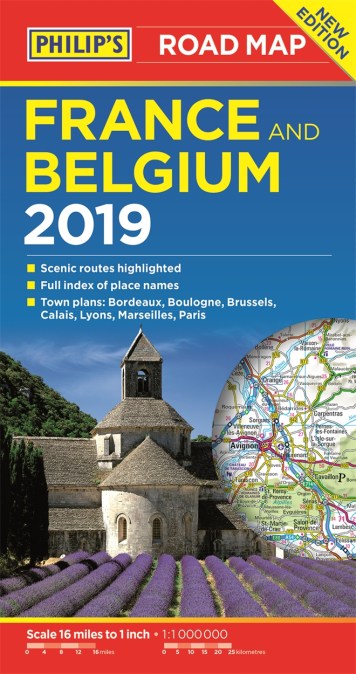
The map for navigating in France and Belgium:
– Main scale super-clear 1:1,00,000 (16 miles to 1 inch)
– Fully updated
– Scenic routes highlighted
– Maps on both sides – more for your money
– City plans: Bordeaux, Boulogne, Brussels, Calais, Lyons, Marseilles and Paris
– The important information for motoring: motorways (toll, pre-pay and free), mountain passes, railways, road numbers (European and local), distances between towns,
– Fully indexof place names
– Major city location maps
– All the places of interest for your trip: from castles, historic houses, beaches and national parks to theme parks, places of worship and ancient monuments
– includes Corsica
In fact, everything you need for your trip to France and Belgium
Newsletter Signup
By clicking ‘Sign Up,’ I acknowledge that I have read and agree to Hachette Book Group’s Privacy Policy and Terms of Use