map
Related Posts

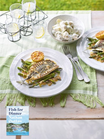
Plaice and Bass Braised in Red Wine from Fish For Dinner, with Wine Pairings from Margaret Rand

Seaweed Relish
From The Seaweed Cookbook:
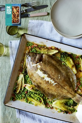
Lemon sole with braised lettuce, peas & pancetta
From One Dish Fish by Lola Milne
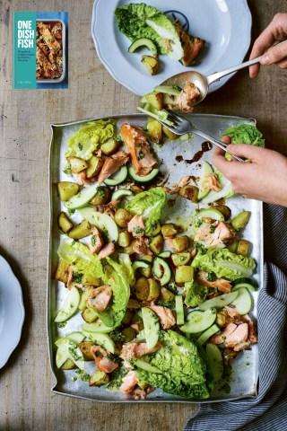
Hot-smoked salmon salad WITH APPLE, POTATO & CUCUMBER
From One Dish Fish by Lola Milne

Spiced Gurnard from Fish for Dinner