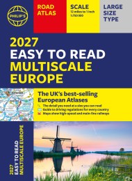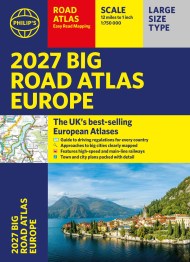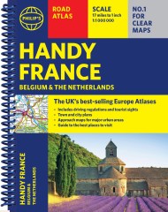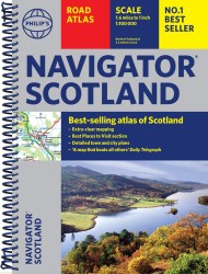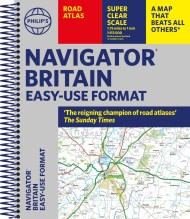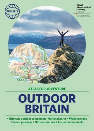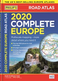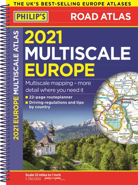
2021 Philip’s Multiscale Road Atlas Europe
PHILIP’S: THE BEST-SELLING EUROPE ROAD ATLAS RANGE IN THE UK
‘The clearest and most detailed maps of Europe’ David Williams MBE, CEO Gem Motoring Assist
‘The best of its kind with quick, easy-to-use information’ Fleet Week
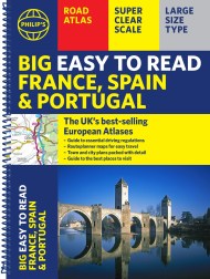
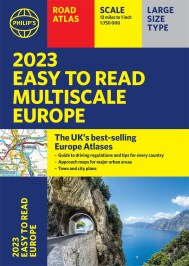
Multiscale mapping – more details where you need it
Philip’s Multiscale Road Atlas of Europe 2021 has:
– Maps every country in Europe and Western Europe
– Practical A4 format and spiral-binding – easy to use in the car
– Main scale super-clear 1:750,000 (12 miles to 1 inch)
– Three supplementary scales from 1:200,000 to 1:3M – helps navigation in denser areas
– 23-page route planning map section
– 50 town and city plans
– 31 urban area maps
– Scenic routes highlighted
– Driving regulations country-by-country
– Distance chart
– Fully indexed
In fact, everything you need for your trip to Europe once we are free to travel again. Imagine the delight of escaping through vineyards, admiring cultural treasures, stopping to eat in road-side bistros or to grab a refreshing gelato. It all awaits and we can supply the clear (and the scenic) routes, the rules and regulations for each country and maps of over 50 cities and towns all over Europe. Go on – treat yourself.
‘The clearest and most detailed maps of Europe’ David Williams MBE, CEO Gem Motoring Assist
‘The best of its kind with quick, easy-to-use information’ Fleet Week
Multiscale mapping – more details where you need it
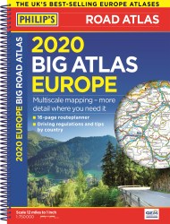
Philip’s Multiscale Road Atlas of Europe 2021 has:
– Maps every country in Europe and Western Europe
– Practical A4 format and spiral-binding – easy to use in the car
– Main scale super-clear 1:750,000 (12 miles to 1 inch)
– Three supplementary scales from 1:200,000 to 1:3M – helps navigation in denser areas
– 23-page route planning map section
– 50 town and city plans
– 31 urban area maps
– Scenic routes highlighted
– Driving regulations country-by-country
– Distance chart
– Fully indexed
In fact, everything you need for your trip to Europe once we are free to travel again. Imagine the delight of escaping through vineyards, admiring cultural treasures, stopping to eat in road-side bistros or to grab a refreshing gelato. It all awaits and we can supply the clear (and the scenic) routes, the rules and regulations for each country and maps of over 50 cities and towns all over Europe. Go on – treat yourself.