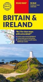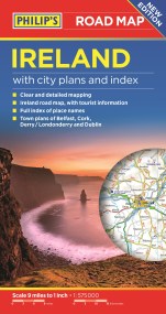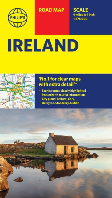
All of Ireland is clearly shown in this handy, up-to-date Philip’s road map covering the whole island at 9 miles to 1 inch. By including the latest new roads and motorways, route-planning and touring is made wonderfully simple with this easy-to-read guide.
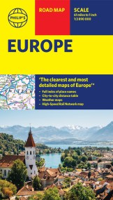
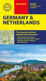
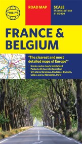
‘THE CLEAREST AND MOST DETAILED MAPS OF EUROPE’ David Williams MBE, former CEO Gem Motoring Assist
The bestselling fold-out road map for navigating in Ireland has been updated for all travellers wanting to go places on the island. Whether driving through the most spectacular scenic routes on offer, enjoying the cultural and natural heritage or just planning city-to-city travel, this handy map has all you need.
– Super-clear scale at 9 miles to 1 inch
– Key driving information: motorways (toll and free), road numbers with distances between towns
– Fully revised and up-to-date with the latest tourist and leisure information
– Places of interest added: from castles, historic houses, beaches and national parks to theme parks, places of worship and ancient monuments
– Includes the islands of Aran, Valentia, Blaskets
– Detailed city plans: Dublin, Belfast, Derry/Londonderry, Cork
– Full index of place names
Whether exploring the many enchanting sights and heritage of Ireland or getting from A to B in the most effective manner, this map caters for it all. Town plans, airports, ferry routes and motorways are added for clarity, alongside the Wild Atlantic Way and the Giant’s Causeway for inspiration.
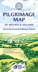
Fáilte!