
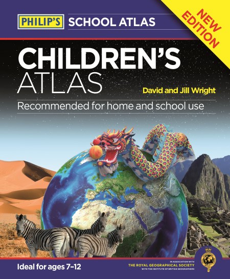
In Philip’s Children’s Atlas, clear and accurate maps are combined with fascinating facts about the countries of the world to provide essential geographical information for young readers. In addition, guidance is given at the beginning of the atlas on how to use the maps, encouraging the early development of map skills.
The atlas is organized spread by spread in the classic sequence: first Europe, then its land neighbour Asia, followed by Africa, Australia and Oceania, North America and South America.
Illustrated with interesting full-colour photographs and packed with fact boxes, curiosities, flags, stamps and quiz questions, Philip’s Children’s Atlas is both fun to use and easy to understand.
A past winner of the Geographical Association’s award for making a significant contribution to geography, Philip’s Children’s Atlas was judged “an excellent ‘all round’ children’s atlas with simple yet well-designed maps, well-illustrated with colour photographs. It links places to issues, events and real people, giving a clear sense of place.”